Payloads
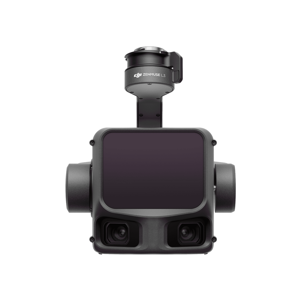
DJI Zenmuse L3
Long-range aerial LiDAR for mapping.
Terrain mapping, forestry surveys and geospatial data collection.
Get a Quote ↗Our standard trade term is EXW Hong Kong. The buyer arranges onward international freight, insurance, export/import customs clearance and destination delivery. Other delivery terms may be discussed depending on the order.
Pricing, stock, included accessories and lead time are confirmed by quotation.
KEY SPECIFICATIONS
The essentials, at a glance.
- Laser wavelength
- 1535 nm
- RGB camera sensor
- 4/3 CMOS
- Photo resolution
- 100 MP
- Aircraft platform
- DJI Matrice 400; L3 connector required
* Maximum figures use DJI-specified test conditions and are not guaranteed operating results. Performance depends on compatible equipment, configuration, environment and use. Refer to the manufacturer for exact conditions.
Official product information from DJI ↗LET’S TALK PROCUREMENT
Your next order starts here.
Share your models, quantities and delivery needs. Peter will help you plan the next step.